Seismic Data Acquisition Software System

KLSeis 2025 Has Been Officially Released

MORE EFFICIENT / MORE PRECISE / MORE INTELLIGENT

Best Moments
Electronic Sandbox Simulation KL-eSim
Electronic Sandbox Simulation

KL-eSim

Electronic Sandbox Simulation

Design / Ground object / Divide blocks / Estimate plan / …

Read More
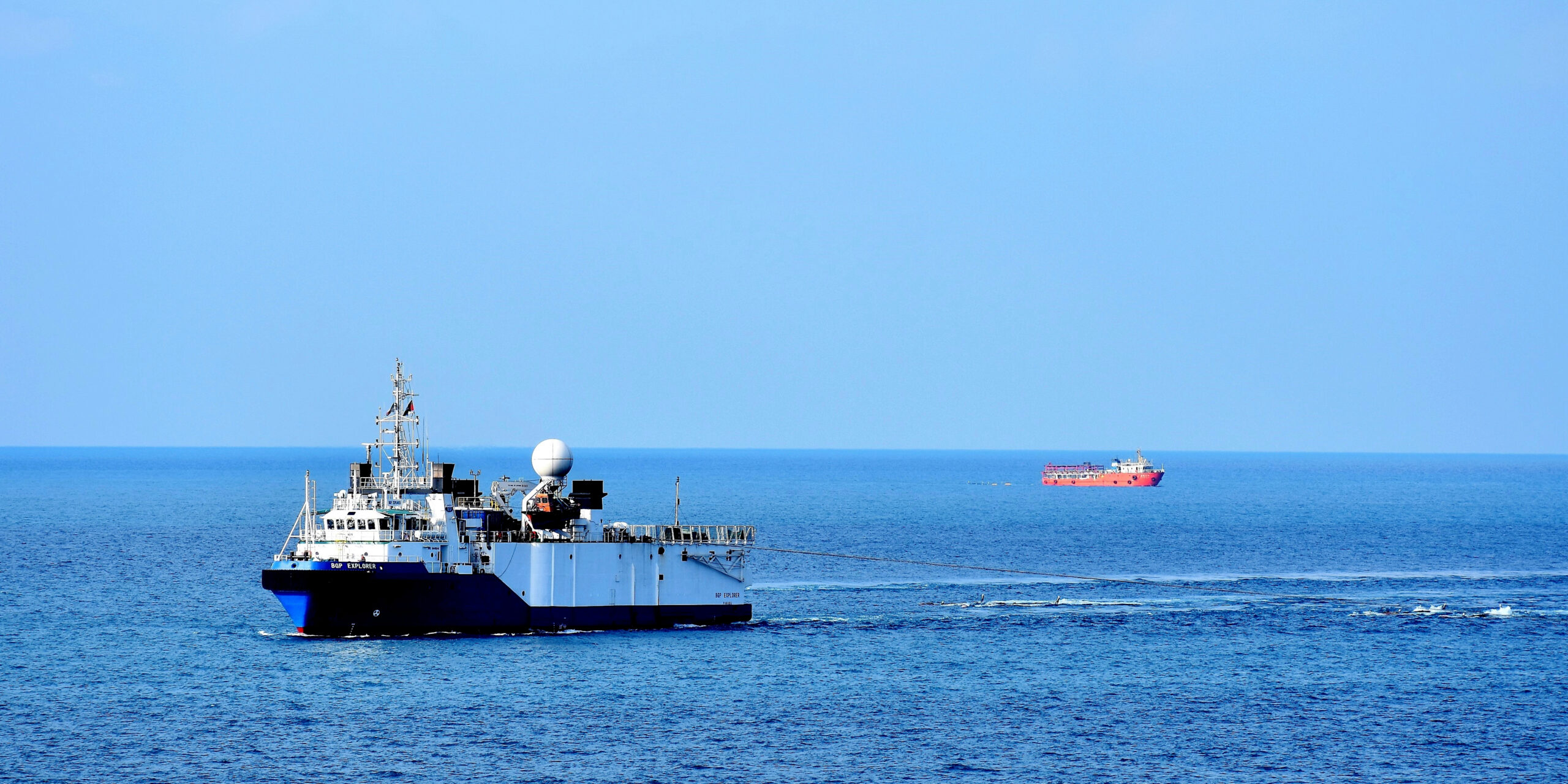
Marine Seismic Acquisition Management System  KL-Mega
Marine Seismic Acquisition Management System

KL-Mega

Acquisition Management

Safety / Production / Market / Resource / Decision / …

Read More
OBN Acquisition QC KL-NodeQC & KL-FBP
OBN Acquisition QC

KL-NodeQC & KL-FBP

Ultra-high Productivity Blending Acquisition

Data Combing / Clock Drift Correction / Geophone Rotation / First Break Positioning / …

Node QC Positioning
Multi-scale Constraint Tomography KL-MCT
Multi-scale Constraint Tomography

KL-MCT

Constraint Modeling

Dune Curve Constraint Tomography Inversion / Two-step Method of Tomography / Constraint Modeling / Secondary Inversion / …

Read More

What We Offer

Complex structural model building of 2D and 3D seismic exploration, as well as model-based numerical simulation of seismic wavefield and illumination analysis of geometry

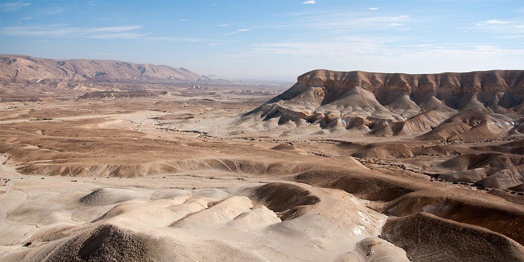
Target-oriented seismic survey design for various complex land surfaces, supports huge data and high-performance computing


Seismic survey design, airgun excitation, data quality control and production management, etc. from transitional zone to deep sea


Derive precise seismic acquisition scheme, improve the layout precision of physical point,and achieve the best match of “personnel, equipment, and efficiency”


Near surface investigation, Q-value calculation, model-constrained tomographic inversion, anisotropic near surface model building, Multi-domain iterative first break residual static correction

Sweep signal design of high-efficiency seismic acquisition, parameter analysis, operation optimization and vibroseis status, Real-time data quality control, etc.



KLSeis 2025 New Features

More Accurate

Multiple algorithm upgrades and optimizations in KLSeis 2025 make the computed results more accurate. KL-BlueWhale is the only software product series in the world that can provide full chain technical services for marine acquisition. KL-MCT can provide a stable and accurate near surface velocity model for migration imaging.

More efficient

KLSeis2025 possesses the ability to segment, synthesize, and control the quality of 30TB massive seismic data. KL-eSim can complete attribute analysis of one billion shot and trace density geometry for 3800 square kilometers within 10 minutes. KL-MegaShare supports the management of 14 types of production data.

Smarter

By deeply integrating artificial intelligence technology with geophysical acquisition technology, KLSeis 2025 has possessed the "strongest brain". Compared with traditional methods, KL-Timer has improved efficiency by 20 times with a picking accuracy of over 95%.

Our Clients

Comprehensive Seismic Acquisition Solution Plan

Land Survey Design,

Modeling and Illumination,

Seismic Data QC,

Near-Surface Modeling,

Marine Seismic Acquisition

KLSeis